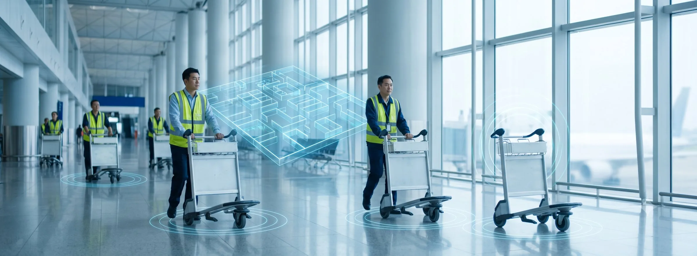
Airport Ground Handling Cart & Staff Tracking System
P-Square delivers an RTLS indoor positioning solution for international airports built on UWB PDOA (Phase Difference of Arrival) array-antenna technology — a single anchor resolves both range and bearing, substantially reducing anchor count and deployment cost. Combined with Bluetooth 6.0 Channel Sounding, BLE 5.1 AoA and Wi-Fi smartphone positioning, it covers ground handling cart dispatch, staff duress and safety, passenger indoor navigation and parking guidance. Deployed at a major domestic airport ground handling operator for cart and personnel tracking.
Pain Points and Solutions by Unit
| Unit | Pain Point | Solution |
|---|---|---|
| Ground Handling | Carts are scattered across aprons and terminals; dispatchers must count them manually and cannot tell which way a cart is heading at junctions. | Geofences report cart counts per zone in real time; UWB PDOA determines direction of travel at junctions and updates zone inventory automatically. |
| Facility Management | Full-coverage anchor deployment is expensive and budgets are allocated year by year. | Anchors can be deployed to budget in three tiers — full coverage, geofence-only, or junction-only — starting with critical points and expanding later. |
| Staff Safety | Aprons and terminals are vast and staff are dispersed; locating someone during an incident or night shift is difficult. | One-touch duress button pushes live coordinates; prolonged-immobility alerts and restricted-zone warnings are triggered automatically. |
| Passenger Service | Terminal layouts are complex; passengers struggle to find gates and services, causing boarding delays. | Smartphone indoor navigation (Wi-Fi AP positioning / BLE beacon positioning) with location-based boarding and transfer notifications. |
System Applications

Ground staff, carts and passengers displayed live on the terminal floor plan.
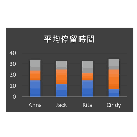
Heat maps, dwell time and movement statistics per terminal zone.

Push duty-free offers and boarding reminders based on passenger zone.

Turn-by-turn smartphone guidance to gates, check-in counters and services.

Space guidance and find-my-car, shortening pickup waiting time.
Solution Modules
| Module | Positioning Technology | Accuracy / Coverage | Hardware | Core Value |
|---|---|---|---|---|
| Cart tracking | UWB PDOA | Single anchor resolves range + bearing | UWB anchors + cart tags | Per-zone cart counts, junction direction detection, faster dispatch |
| Staff tracking & duress | BLE / Bluetooth 6.0 Channel Sounding | Room level ~ 1.5 m | BLE tags / duress ID badges | Emergency call, restricted-zone alerts, immobility alarms |
| Passenger navigation | Wi-Fi AP / BLE beacon positioning | 3–5 m / 1–3 m | No badge needed — passenger smartphone | Indoor navigation, targeted messaging, flow analytics |
| Parking guidance | BLE beacon | Zone level | Fixed beacons | Space guidance and find-my-car |
Case Study
Major Domestic Airport Ground Handling Operator — UWB Tracking for Carts and Staff
Large cart fleets move constantly between aprons and terminals, making manual counting slow and always out of date. With UWB PDOA, array-antenna anchors resolve range and bearing simultaneously, so a single anchor completes a fix; geofences were placed at zone entrances and key junctions.
- A single anchor resolves both range and bearing — fewer anchors than trilateration-based deployments.
- Per-zone cart counts available in real time, eliminating manual stocktakes.
- Junction direction detection reconstructs cart flow and informs zone dispatch.
- Anchors expand in phases to budget — no need for full-site deployment on day one.
Extended use: the same infrastructure supports one-touch duress for ground staff, restricted-zone alerts, and passenger smartphone wayfinding.
Frequently Asked Questions
An airport is enormous — do we need anchors everywhere before this works?
How does UWB PDOA differ from conventional UWB ToA?
Do passengers need a dedicated app? What about privacy?
Will metal structures and dense crowds degrade accuracy?
Improve Ground Handling Efficiency and Passenger Experience
Contact the P-Square project team to plan positioning for aprons, terminals and car parks.
Professional Consultation