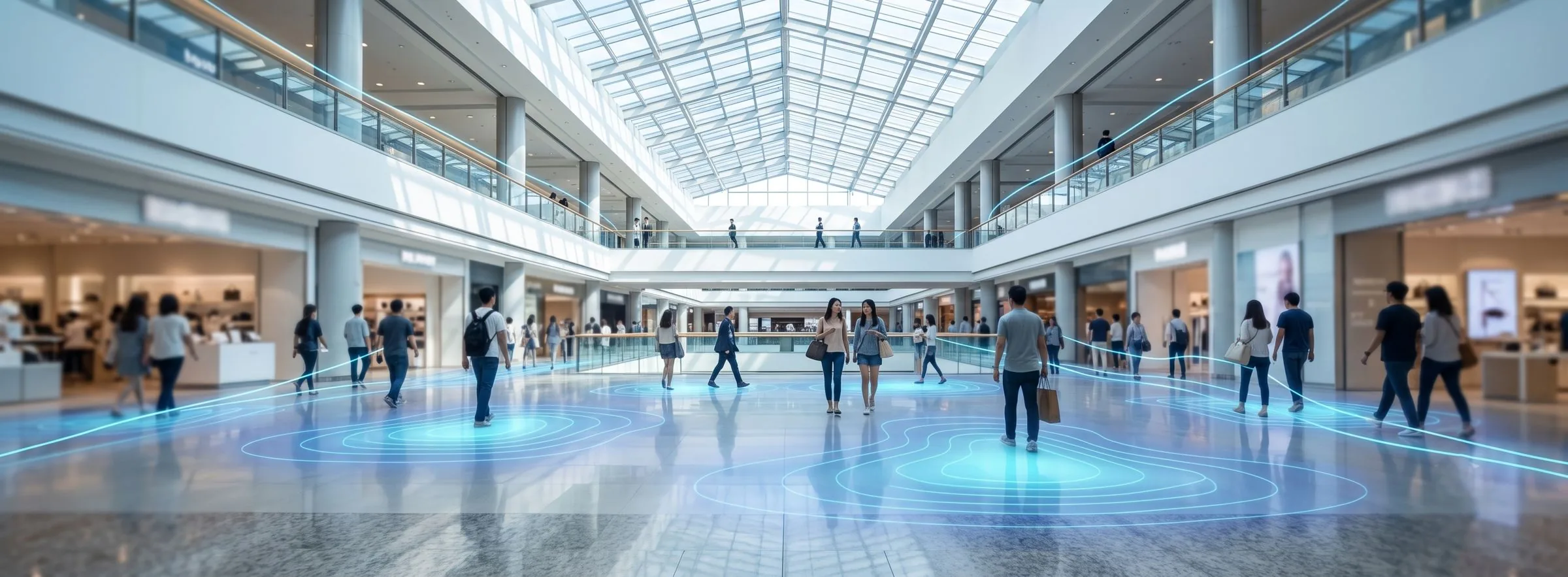
Shopping Centre Footfall Analytics & Indoor Navigation System
P-Square delivers an RTLS positioning solution for shopping centres, department stores and hypermarkets. Wi-Fi AP positioning and BLE beacon smartphone positioning capture shopper location, and heat maps, dwell time and circulation analysis quantify real footfall by floor and by unit — objective evidence for tenant valuation, campaign measurement and space planning. Shoppers gain indoor navigation to stores, location-based offers and car park guidance.
Pain Points and Solutions by Unit
| Unit | Pain Point | Solution |
|---|---|---|
| Centre Operations | Footfall distribution by floor and zone is unknown, so tenant rents and unit grading lack objective evidence. | Heat maps quantify actual footfall density and dwell time by area, providing the data basis for unit grading and rent setting. |
| Marketing | The impact of campaigns and pop-ups can only be read from sales, never attributed to circulation or exposure. | Before-and-after circulation and dwell-time comparison; offers pushed by shopper zone with measurable conversion. |
| Customer Service | In a large centre, finding a store, a restroom or an exit is difficult and frustrating. | Turn-by-turn smartphone indoor navigation with store search and floor switching. |
| Car Park | At peak times shoppers cannot find a space, and cannot find their car on the way out — congesting entrances. | Space guidance and find-my-car, reducing circling time. |
| Security / Facilities | Night patrol positions are unknown during incidents, and restricted areas must be protected. | Patrol staff tracking with one-touch duress; restricted-zone alerts for back-of-house and plant rooms. |
System Applications

Shoppers and staff shown live on the centre floor plan.
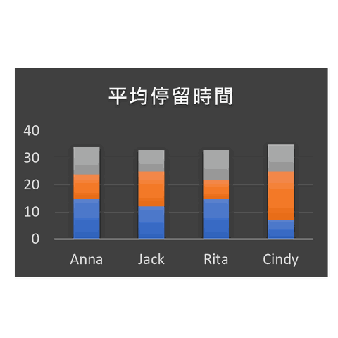
Heat maps, dwell time and circulation statistics by floor and unit.

Push tenant offers and event information by floor and zone.
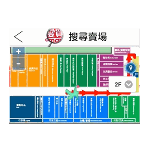
Turn-by-turn guidance to stores, restrooms and exits.

Space guidance and find-my-car, cutting circling and exit time.
Solution Modules
| Module | Positioning Technology | Accuracy / Coverage | Hardware | Core Value |
|---|---|---|---|---|
| Shopper smartphone positioning | Wi-Fi AP / BLE beacon positioning | 3–5 m / 1–3 m | Reuse existing Wi-Fi APs, or add beacons | No badge required; lowest cost where Wi-Fi already exists |
| Footfall & circulation analytics | BLE / Wi-Fi trajectories | Site-wide grid | Back-end software module | Heat maps, dwell time, trajectory replay, campaign comparison |
| Navigation & messaging | BLE beacon positioning | 1–3 m | Fixed beacons | Store navigation and location-based offers |
| Staff safety & zone control | BLE | Room level | Staff badge / duress tag | Patrol tracking, emergency call, restricted-zone alerts |
Deployment Scenario & Measurable Indicators
Shopping Centre — Turning Footfall into Priceable Data
The value of positioning in retail is not simply seeing where people are — it is turning footfall into data that can be priced and attributed. Where Wi-Fi is already deployed, Wi-Fi positioning is the lowest-cost route; where higher accuracy or iPhone coverage is required, BLE beacon smartphone positioning is recommended alongside it.
- Measurable: visits and average dwell time for the zone containing each tenant unit.
- Measurable: change in circulation and newly visited zones before and after a campaign.
- Measurable: open rate and store-visit conversion of location-based notifications.
- Measurable: average time to find a space and to exit the car park.
Technical note: Wi-Fi positioning is the cheapest option where Wi-Fi already exists, but iPhone does not support Wi-Fi scanning, Android 10+ requires developer mode, and scanning consumes more power. BLE beacon positioning offers better cross-platform compatibility and lower tag power draw. In practice the two are frequently combined; P-Square assists with selection during assessment.
Frequently Asked Questions
We already have Wi-Fi in the centre — can we use it for positioning?
Can we analyse footfall if shoppers do not install an app?
Can heat maps resolve down to an individual tenant unit?
Does collecting shopper circulation comply with privacy regulation?
Turn Footfall into Priceable Data
Contact the P-Square project team to plan positioning for footfall, tenant valuation and car parks.
Professional Consultation