
AGV / AMR Fleet Tracking & Mixed-Traffic Safety System
P-Square delivers an RTLS positioning solution for factories and warehouses operating AGVs and AMRs. A vehicle's own SLAM knows where it is — but not whether anyone is nearby. P-Square combines UWB PDOA multi-antenna anchors with relative positioning while in motion: the anchor mounts on the vehicle itself and measures range and bearing to tagged personnel and carts around it, while the back end shows personnel, AGVs and equipment together to enable traffic control and zone control.
Pain Points and Solutions by Unit
| Unit | Pain Point | Solution |
|---|---|---|
| Production / Warehouse | AGVs and workers share aisles; corners and racking create blind spots and collision risk. | Personnel and AGVs are tracked together; the system arbitrates right of way at junctions and blind spots and slows vehicles in advance. |
| Fleet Dispatch | With many AGVs running, it is hard to see which is where, which is idle, and which are queued on the same route. | Live AGV location and task-status dashboard; heat maps identify routinely congested route segments. |
| Safety / EHS | Workers stray into AGV travel lanes and automated work cells and must be stopped immediately. | Restricted zones and zone control raise an instant alert on tag entry and can trigger deceleration or a stop. |
| Vehicle Integration | AGV LiDAR SLAM localises the vehicle only; it cannot identify nearby people or their distance. | Mount a UWB PDOA multi-antenna anchor on the vehicle to perform relative positioning of nearby personnel tags while in motion, filling the gap SLAM cannot see. |
System Applications

Live worker positions with restricted-zone alerts and one-touch duress.
Live AGV / AMR position, route and task status.
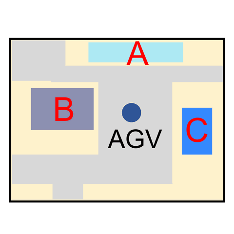
Live location and automatic stocktake of carts, fixtures and instruments.
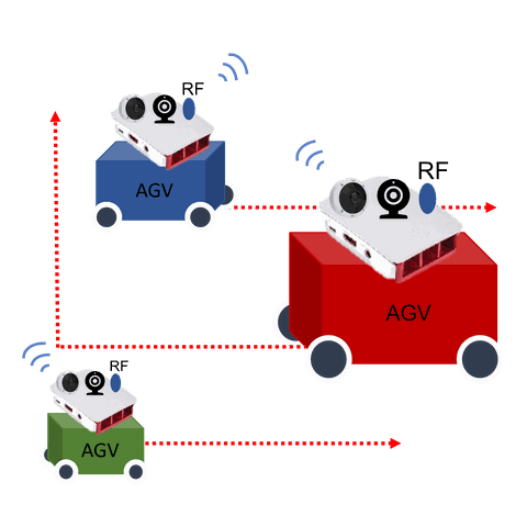
Right-of-way arbitration and advance deceleration at junctions and blind spots.

Restricted-zone alerts for automated cells, able to trigger slow-down or stop.
Solution Modules
| Module | Positioning Technology | Accuracy / Coverage | Hardware | Core Value |
|---|---|---|---|---|
| Vehicle-mounted relative positioning | UWB PDOA (on-board array antenna) | Relative positioning while in motion | On-board UWB anchor + personnel tags | Fills SLAM blind spots; measures range and bearing to nearby people directly |
| Fixed infrastructure tracking | UWB ToA / BLE | 10–30 cm (line of sight) / 1–3 m | Fixed anchors + tags | Site-wide personnel and vehicle map, traffic control, zone control |
| AGV self-localisation | LiDAR SLAM + encoder fusion | Vehicle self-localisation | On-board sensors | Complements UWB relative positioning for overall stability |
| Back-end management | Aggregates the positioning data above | Site-wide grid | RTLS web platform | Restricted zones, historical records, heat maps, trajectory replay, dwell time |
Technology Highlight
Relative Positioning in Motion — Put the Anchor on the Vehicle
Conventional RTLS mounts anchors on walls and tags on people. P-Square adds another option: mount the UWB PDOA multi-antenna anchor on the AGV / AMR itself, so relative positioning of nearby tagged personnel continues while the vehicle moves. For safety applications, what a vehicle actually needs is not its absolute coordinate on the site map, but the bearing and distance to the nearest person.
- On-board UWB PDOA array antenna — a single unit resolves range and bearing.
- Relative positioning of surrounding tags is maintained while the vehicle is moving.
- Complements on-board LiDAR SLAM and encoder fusion.
- Can be paired with fixed anchors to obtain absolute coordinates and relative range simultaneously.
Extended use: the same positioning foundation supports automatic stocktakes of carts and fixtures, production-line labour analysis, and integration with existing MES / WMS systems via Web API.
Frequently Asked Questions
Our AGVs already run LiDAR SLAM — why add UWB?
Must every worker wear a tag? What about people without one?
Factories are full of metal — does that affect UWB?
Can this integrate with our existing MES / WMS or AGV dispatch system?
Let AGVs See People, and People See AGVs
Contact the P-Square project team to plan mixed-traffic safety positioning for production and warehousing.
Professional Consultation