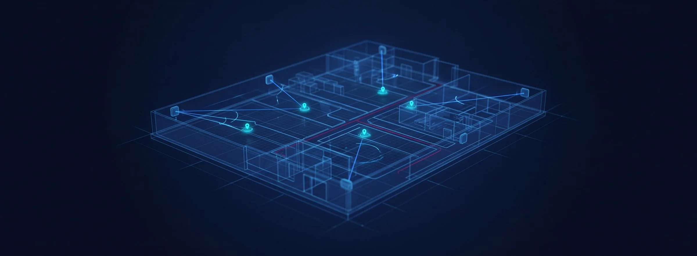
UWB Ultra-Wideband Indoor Positioning (ToA / TDOA / PDOA 3D)
P-Square offers two UWB positioning architectures. UWB ToA (Time of Arrival) uses four anchors performing two-way ranging and trilateration, reaching 10–30 cm accuracy in line-of-sight conditions, with anchors that are battery powered and require no cabling. UWB PDOA (Phase Difference of Arrival) anchors carry array antennas, so a single unit resolves range, azimuth and elevation simultaneously and computes 3D coordinates directly — enabling jump-height and three-dimensional trajectory measurement with fewer installation points and lower deployment cost. Deployed for athlete tracking in sports technology, ground handling carts and staff at airports, and mixed human-vehicle safety for AGV/AMR fleets.
▶ Watch the 3D real-time positioning demo (1:11)An object moves between desk, floor and shelf while the 3D view tracks position and height together — up to 10 cm accuracy.Architecture 1: UWB ToA Positioning
← Swipe horizontally to view the full diagram →
Figure: UWB ToA architecture — the tag performs TWR ranging with four anchors; data flows through the gateway into the RTLS Controller.
The tag performs TWR (Two-Way Ranging) with four anchors in the deployment area; the resulting distances are solved by trilateration. Ranging data passes through the UWB gateway into the P-Square UWB-RTLS Controller, where NLOS (non-line-of-sight) estimation together with particle filters and a motion model compensate for multipath effects in metallic environments, before output to the RTLS web platform.
The key practical advantage of the ToA architecture is that anchors are battery powered and need no cabling — for school athletics tracks, sports halls or temporary events where the venue cannot be modified, anchors can be set up before a session and packed away afterwards.
Alongside the standard system, whose anchor and tag counts are planned around the site, we also offer the UWB ToA All-Ranging Kit (12 units: 8 anchors and 4 tags). Every node in the kit ranges against all 11 others, so the ranging data is complete and positioning accuracy is higher — well suited to accuracy validation and R&D work.
Architecture 2: UWB PDOA 3D Positioning
← Swipe horizontally to view the full diagram →
Figure: UWB PDOA versus ToA deployment — a single PDOA array-antenna anchor resolves range, azimuth and elevation.
Both ToA and PDOA can produce 3D positions — the difference is how many anchors it takes. Each ToA anchor measures only a range, which is a sphere centred on that anchor: the tag is somewhere on that sphere, but you do not know where. Resolving a three-dimensional coordinate therefore needs at least four anchors, mounted at different heights.
A PDOA anchor contains an array antenna and resolves the direction of arrival from the phase difference between antenna elements. In a single measurement it obtains range d, azimuth φ and elevation θ — a complete set of spherical coordinates (d, φ, θ) — so one anchor converts straight to Cartesian coordinates:
x = d · cos θ · cos φ
y = d · cos θ · sin φ
z = d · sin θ
So the distinction is not whether 3D is possible, but how many anchors are needed for one point: ToA needs several anchors to intersect, PDOA needs one — fewer deployment points and lower build cost.
Three-dimensional positioning matters in practice: sports technology can measure jump height and 3D trajectories, while plants and terminals can determine which floor someone is on and detect climbing or falls.
Deployment is also more flexible and can be tiered to budget: full coverage for complete trajectories, geofences at zone entrances to maintain asset counts, or junctions only to determine direction of travel.
PDOA tags interoperate with iPhone and selected UWB-capable Android handsets. We supply an app that performs 3D positioning directly, so there is no need to issue a separate tag to every user.
Architecture 3: UWB TDOA Positioning
In TDOA the tag transmits in one direction only. Several anchors each record when the signal arrives, and the position is resolved from the differences between those arrival times. The key contrast with ToA is that the tag never has to hold a two-way conversation — without the round trip, tag power draw falls sharply and battery life extends from hours to months.
The cost sits on the infrastructure side: every anchor must be PoE-wired and kept in tight time synchronisation, so it cannot be battery-powered and repositioned the way a ToA anchor can. TDOA therefore suits permanent sites with large tag counts — offices and long-running plant deployments — while ToA remains the better fit where deployment has to be fast or temporary.
Positioning Technology Comparison (Wi-Fi / Bluetooth / Zigbee / UWB)
| Criterion | Wi-Fi | BLE RSSI | BLE AoA | Zigbee | UWB |
|---|---|---|---|---|---|
| Method | RSSI | RSSI | Array antenna resolves azimuth and elevation | RSSI | ToF / TDOA |
| Accuracy | 3–5 m | 1–3 m | 0.5–1.5 m | 1–3 m | 0.1–0.3 m (line of sight) |
| Power draw | High | Low | Low | Low | Medium |
| Hardware cost | Medium | Low | Medium-high | Medium-low | High |
UWB delivers the highest accuracy but also the highest hardware cost. P-Square's position is that accuracy does not require expensive hardware everywhere — UWB in critical areas with Bluetooth or Wi-Fi elsewhere is usually the most sensible combination.
Hardware Specifications
| Item | UWB ToA Anchor | UWB ToA / PDOA Tag | PDOA Gateway | UWB Module |
|---|---|---|---|---|
| Dimensions (with housing) | 9.4 × 4.8 × 2.2 cm | 9.4 × 4.8 × 2.2 cm | 22 × 22 × 4 cm | 80 × 30 × 10 mm |
| Power | USB powered | Battery (type 16340, rechargeable) | PoE powered | From the carrier board |
| Chipset | Qorvo / NXP | Qorvo / NXP | Qorvo / NXP | NXP |
| Function | UWB ranging | UWB ranging | Data aggregation and backhaul | UWB + BLE, with an integrated secure element |
Entry-Level Evaluation: UWB Start Kit
An entry package for system integrators and end users to validate feasibility first:
- 6 anchors + 2 tags + 1 receiver
- Back-end software
- Boards already CE / FCC certified
Once proven, expand to the full RTLS platform with historical records, trajectory replay, restricted zones and heat maps.
Where It Is Used
- Sports technology: athlete tracking and tactical movement analysis (10–30 cm accuracy, no cabling)
- International airports: ground handling cart and staff tracking (single PDOA anchor resolves range and bearing)
- AGV / AMR: mixed human-vehicle safety and relative positioning in motion
- Semiconductor and high-tech plants: high-precision personnel and equipment tracking in critical areas, geofencing
- Asset finding: the same class of application as Apple AirTag and Samsung SmartTag, extending to fall detection and hazard alerts
Frequently Asked Questions
What is the minimum number of anchors for UWB ToA?
Why can UWB PDOA work with only one anchor?
Will multipath interference from factory metalwork affect UWB?
Do anchors need mains power? Can they be used where construction is not permitted?
Is there an entry-level option for a small-scale trial?
Plan UWB High-Precision Positioning for Your Site
Contact the P-Square project team to assess ToA or PDOA architecture and deployment density.
Professional Consultation